Interagency Access Pass
Northeast Ski Trails
Get real time grooming updates, offline trail maps, and trail conditions with 
NORTHEAST SKI TRAILS
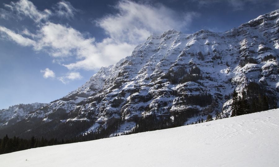
The Northeast area of the park offers some of the most consistent and deepest snow pack throughout the winter. For more info on specific Northeast Area trails see map and trail descriptions below or download trail descriptions and trail map. For up to date trail conditions call (307-344-5699) or stop by our ski shop.
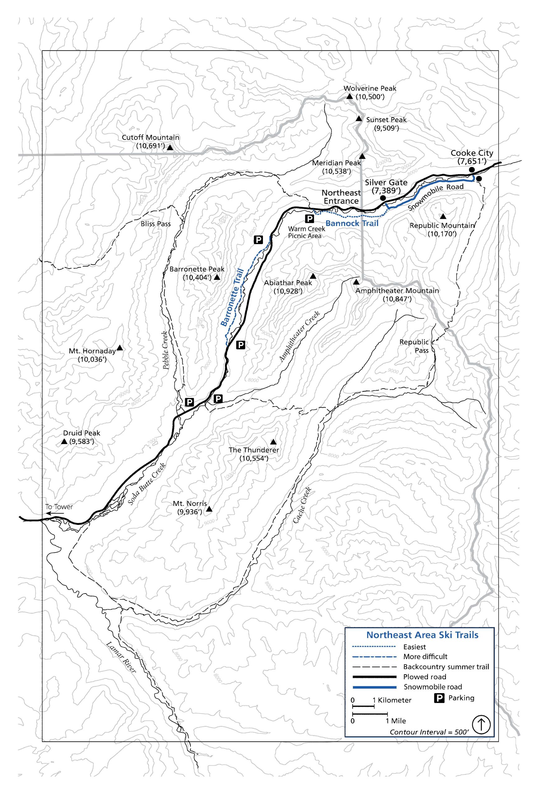
BANNOCK TRAIL
2.5 miles one way (4 km), easiest
Begin at Warm Creek picnic area, one mile west of the Northeast Entrance. After crossing Soda Butte Creek, the trail follows the old road bed that was once used to supply the mining town of Cooke City, Montana. This trail takes its name from the Bannock band of the Shoshone, who used this route to reach the buffalo grounds of the Great Plains. The terrain is mostly flat and the trail traverses open meadows and mixed conifer forests. You will reach the North Absaroka Wilderness approximately 1 mile (1.6 km) from the trailhead. At 2.5 miles (4 km) you come to Silver Gate, Montana. From here the road bed is used as a snowmobile route and is good skiing to Cooke City.
BARRONETTE TRAIL
4 miles (6.4 km), more difficult
The Barronette Trail is a 4 (6.4 km) section of the Old Cooke City road. The trailheads are located at the upper and lower Soda Butte bridges on the Northeast Road, 3 and 6.5 miles (4.8 and 10.5 km) respectively from the Northeast Entrance. The trail lies mostly in conifer forests beneath Barronette Peak. The trail offers some spectacular mountain scenery and consistent snow conditions. Check for current conditions especially avalanche conditions and, in late winter, grizzly bears. While the trail is mostly flat you will encounter steep short gullies. It is recommended to side step both up and down these areas.
PEBBLE CREEK TRAIL
13 miles (21 km), most difficult
This is a backcountry trail that is usually through unbroken snow. Although skied as a day trip in late winter and early spring by experienced parties, it normally requires a night out to complete. Check at the visitor center in Mammoth or the ranger stations at Tower or the Northeast Entrance for current conditions. Overnight camping requires a free backcountry use permit which must be obtained in person from the Mammoth or Old Faithful visitor centers, or West and South entrance stations.
Caution: Do not attempt to travel any backcountry trails without good topographical maps and first inquiring about trail conditions. Backcountry trails are marked on this map with dashed black lines. Many of them are difficult to find and follow as they are not well marked for winter travel and have not necessarily been skied recently. Many go through avalanche-prone areas that are not marked.
TELEMARK AND BACKCOUNTRY SKIING
The northeast section of Yellowstone and the Cooke City area offer unlimited possibilities for the day skier interested in telemark and cross-country downhill experiences. Inquire locally for ski and avalanche conditions.